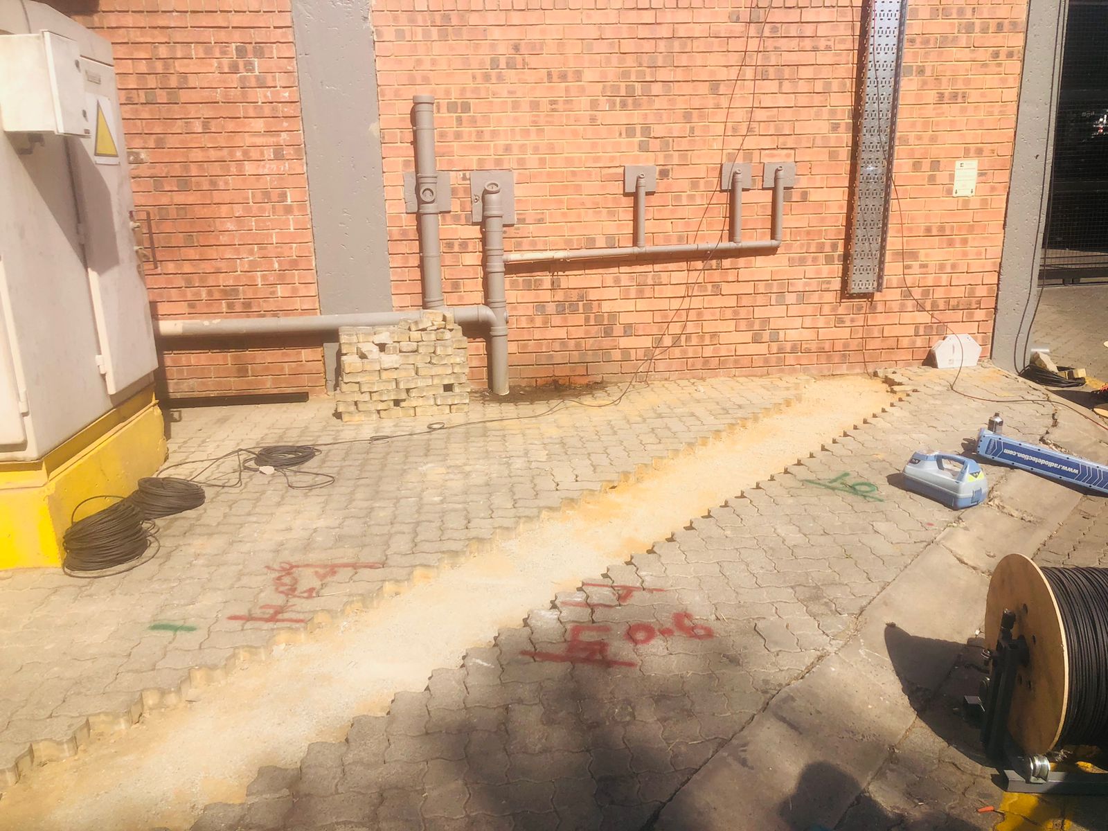
GPR Survey Company & Subsurface Utility Mapping
Specialist GPR Survey & Utility Mapping Company.
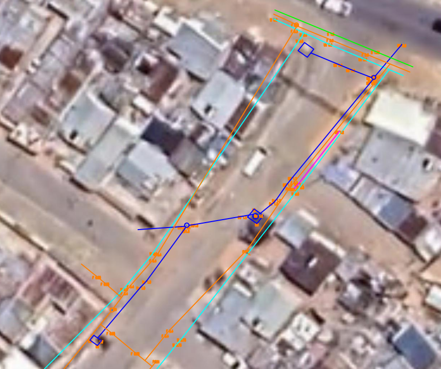
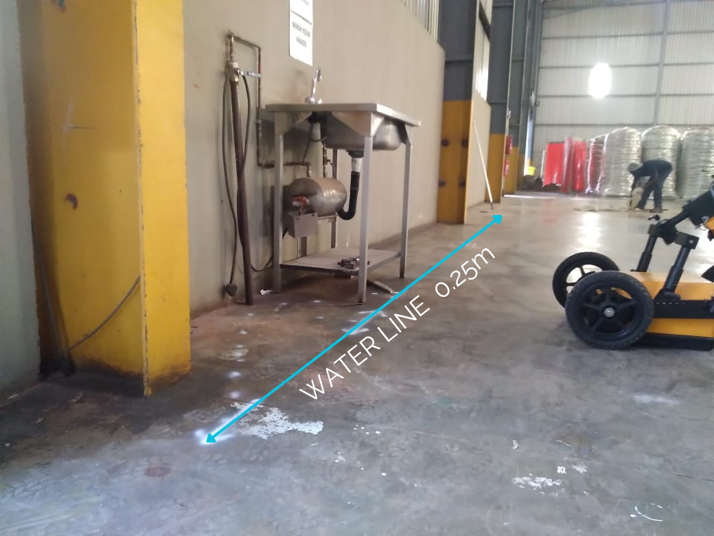
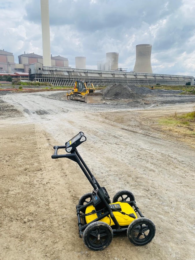
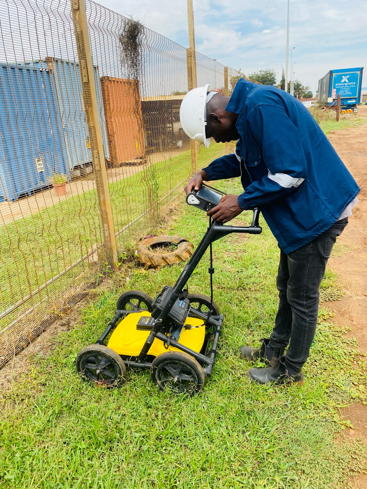
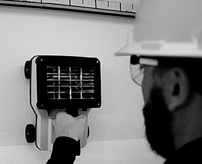
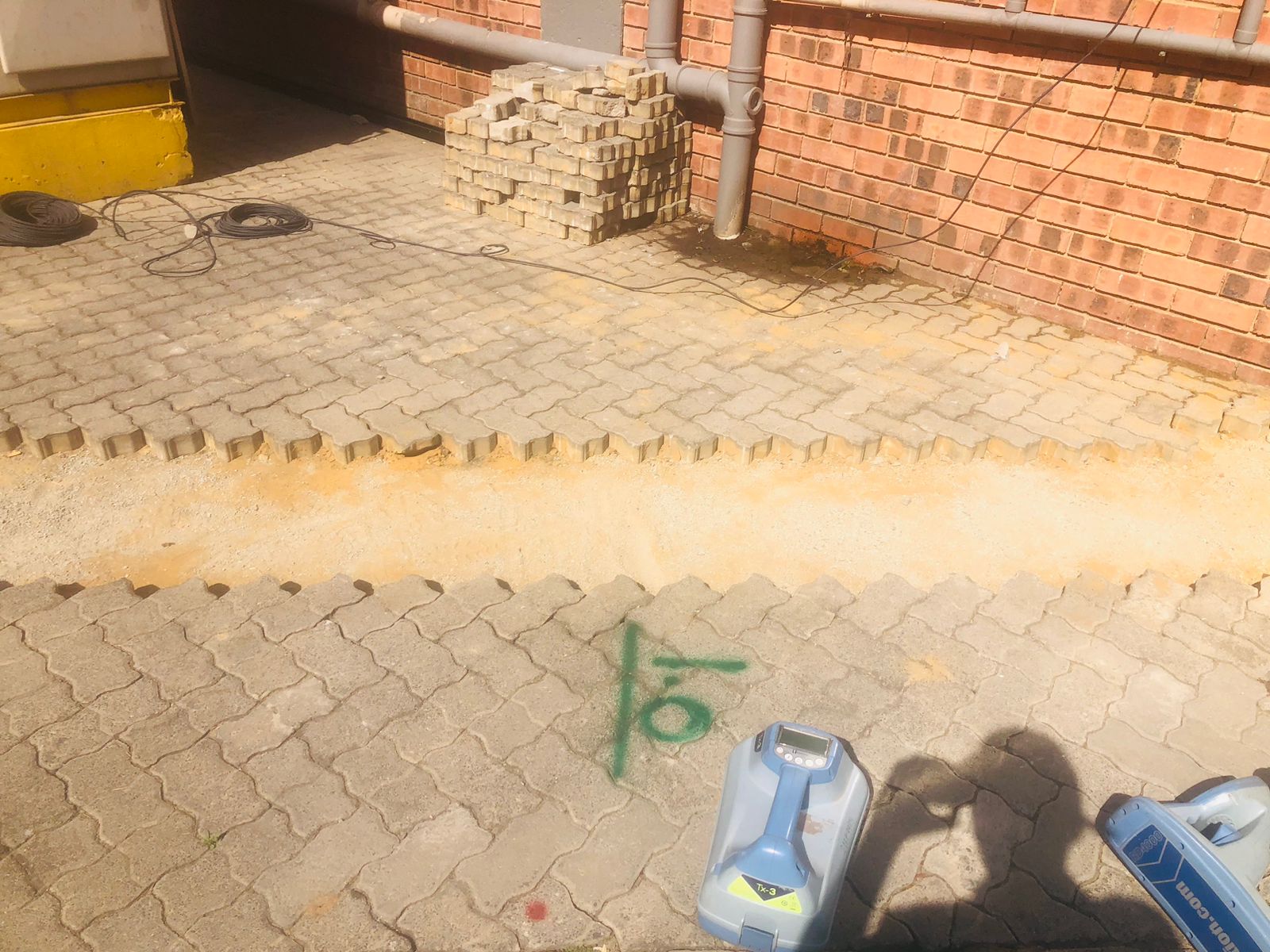
Delivering engineering-grade buried services surveys and underground utility mapping across South Africa. We integrate multi-frequency Ground Penetrating Radar (GPR), electromagnetic locating, and Stonex GNSS / Total Station surveying to produce accurate CAD (.DWG), GIS, Google Earth (.KML), and PDF utility reports.
✓
Full buried services surveys for civil engineers, architects & town planners
✓
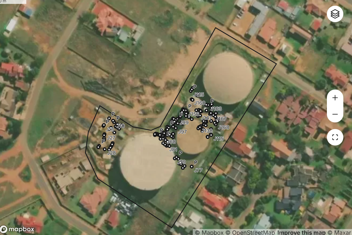
Survey-grade positioning with Stonex Total Station & RTK GNSS receivers
✓
Deliverables in AutoCAD (.DWG / .DXF), Google Earth (.KML) & annotated PDF reports

Georeferenced CAD & GIS Utility Surveys
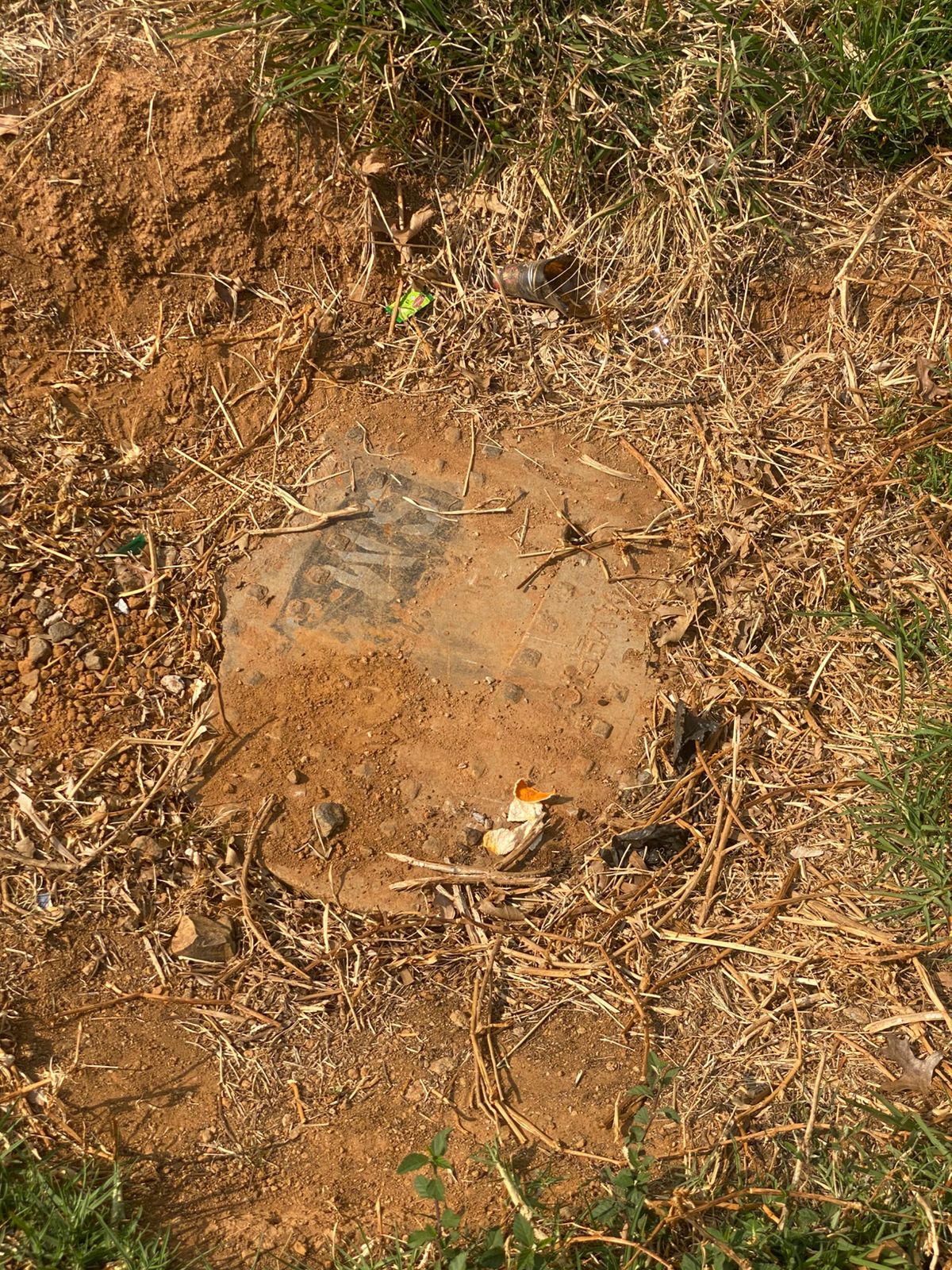
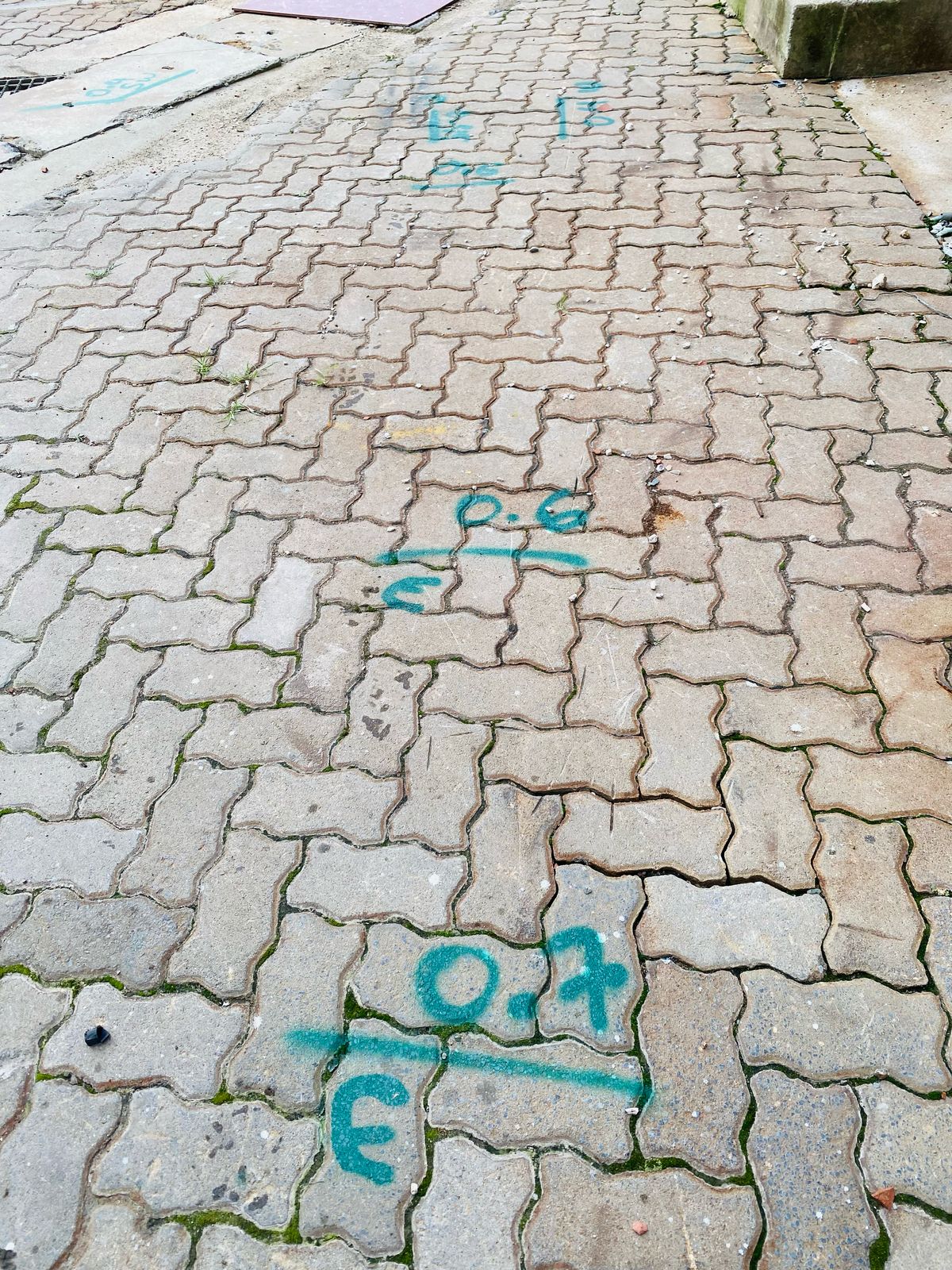
Every detected underground pipe, cable, manhole, and chamber is surveyed to true coordinates and plotted onto your site plan.


 Output 01 · Same Day